 Data Download
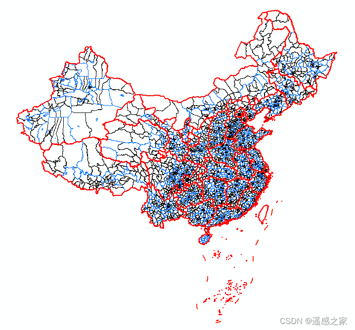
Administrative division data is important foundational geographic information data, but there are many problems with the administrative region data currently available on the market. Based on the above issues, I would like to produce a set of administrative-division data based on authoritative administrative-division sources, covering a long time series from 1992 to 2024 (currently 2000–2024 completed), with attributes compliant with the Ministry of Civil Affairs, and openly accessible.
CTA_map is such a set of national long time-series province/city/county vector administrative-division data.
| Year | Province/City/County |
|---|---|
| 2024 Administrative Division Data | Download (opens new window) |
| 2023 Administrative Division Data | Download (opens new window) |
| 2022 Administrative Division Data | Download (opens new window) |
| 2021 Administrative Division Data | Download (opens new window) |
| 2020 Administrative Division Data | Download (opens new window) |
| 2019 Administrative Division Data | Download (opens new window) |
| 2018 Administrative Division Data | Download (opens new window) |
| 2017 Administrative Division Data | Download (opens new window) |
| 2016 Administrative Division Data | Download (opens new window) |
| 2015 Administrative Division Data | Download (opens new window) |
| 2014 Administrative Division Data | Download (opens new window) |
| 2013 Administrative Division Data | Download (opens new window) |
| 2012 Administrative Division Data | Download (opens new window) |
| 2011 Administrative Division Data | Download (opens new window) |
| 2010 Administrative Division Data | Download (opens new window) |
| 2009 Administrative Division Data | Download (opens new window) |
| 2008 Administrative Division Data | Download (opens new window) |
| 2007 Administrative Division Data | Download (opens new window) |
| 2006 Administrative Division Data | Download (opens new window) |
| 2005 Administrative Division Data | Download (opens new window) |
| 2004 Administrative Division Data | Download (opens new window) |
| 2003 Administrative Division Data | Download (opens new window) |
| 2002 Administrative Division Data | Download (opens new window) |
| 2001 Administrative Division Data | Download (opens new window) |
| 2000 Administrative Division Data | Download (opens new window) |
A combined package from early 2000 to early 2024:
CTAmap version 1.30_2000–2024 https://pan.baidu.com/s/1wILynp1aH_TTW9791nfY7w?pwd=4444
# References
(1) Rui C, Zhang H, Chen B. China temporal administrative map: a multitemporal database for Chinese historical administrative divisions (2009–2023)[C]//Third International Conference on Environmental Remote Sensing and Geographic Information Technology (ERSGIT 2024). SPIE, 2025, 13565: 497-507.https://doi.org/10.1117/12.3059430
(2) Rui Cheng, CTAmap: A Long-term Series of Provincial, Municipal and County Administrative Division Dataset (2000–2024), version 1.30, online dataset, 2025, http://www.shengshixian.com.
# Data Visualization
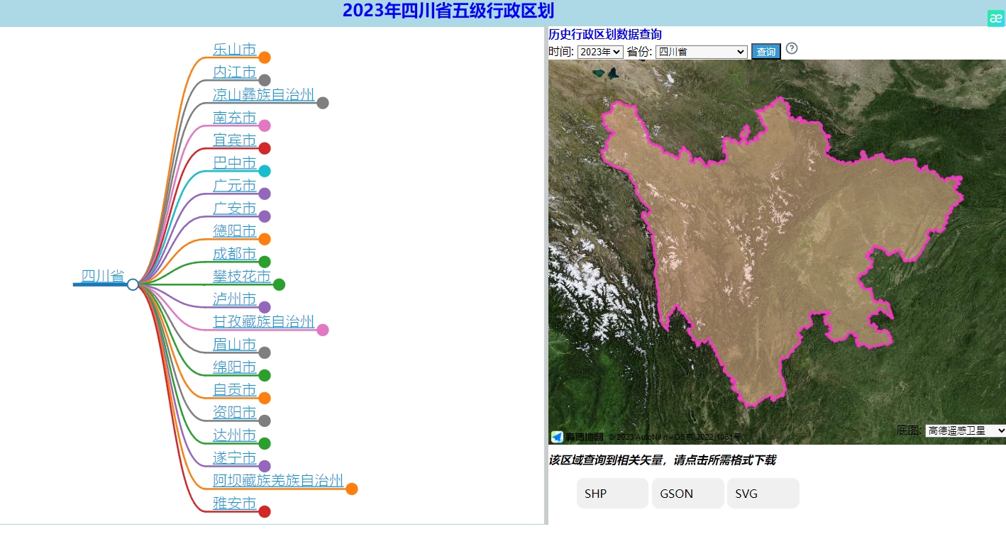
If you want to see the display effect, you can directly visit the five-level data query and download website for "province, city, county, township, village": https://map.ruiduobao.com/
# Public Account: Ruiduobao (锐多宝)

# Acknowledgements
Sincere thanks to netizen gou and Wang Yanjun (王艳君), a student at Southwest Jiaotong University (西南交通大学), for their help in producing this dataset.